Rutland Water from Lower Hambleton
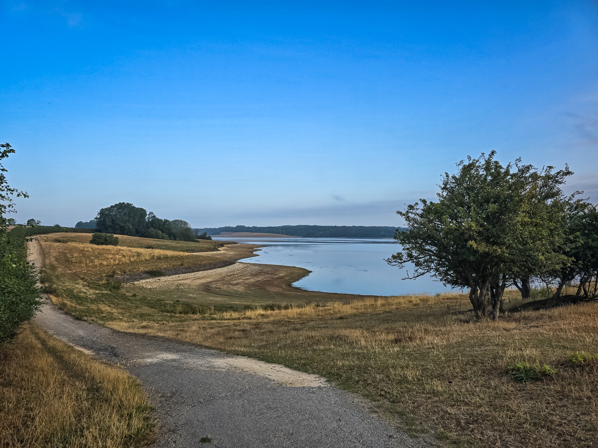
Capturing the calm morning atmosphere across the Hambleton peninsula. This scenic walk provided open views over the reservoir, clear blue skies, and timeless local landmarks across Rutland Water.
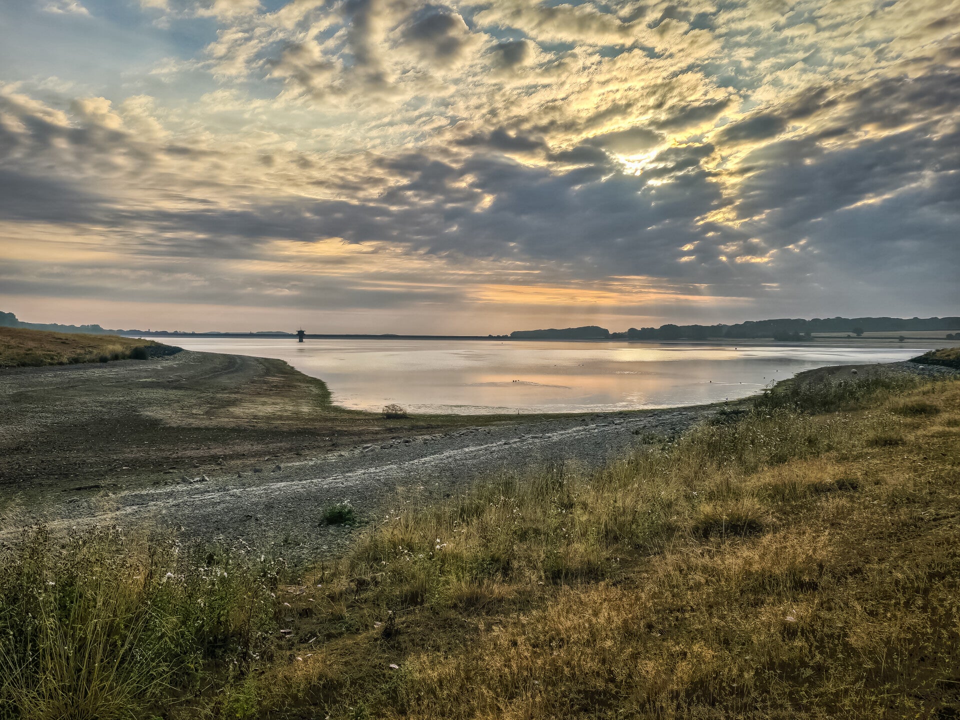
Morning light over the reservoir
Exploring the peninsula at Lower Hambleton for the first time offered panoramic perspectives over the vast reservoir. The gentle morning sky reflected beautifully across the water, showing the open landscape at its quietest and most scenic, The first photo was featured on ITV Central Weather.
Rutland Water Lower Hambleton
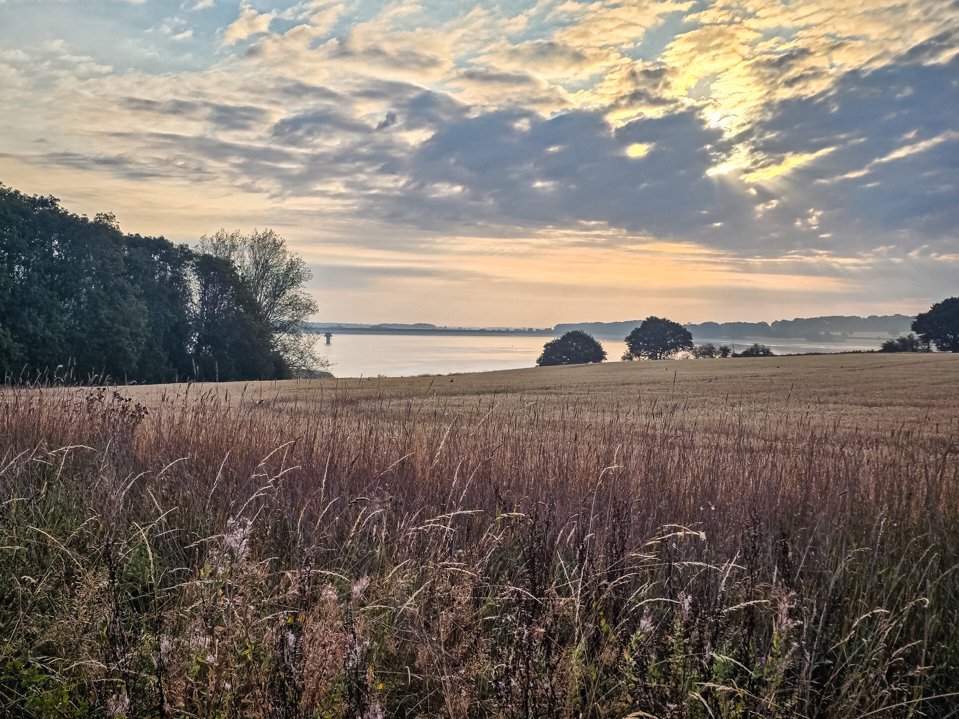
Rutland Water Lower Hambleton
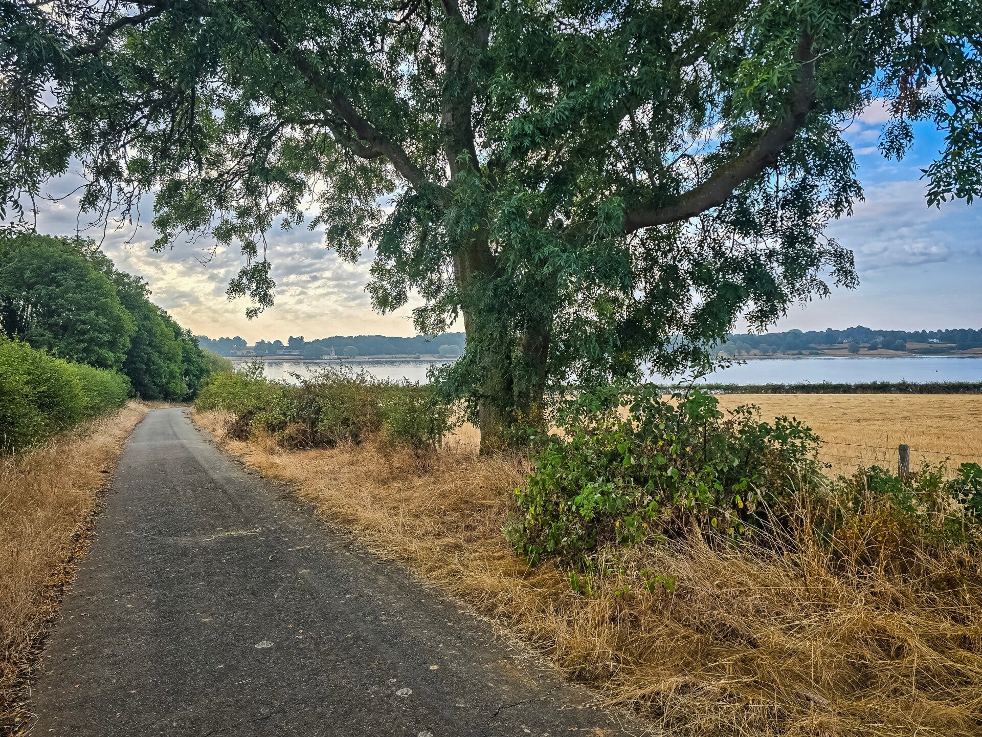
Walking the Old Ketton Road
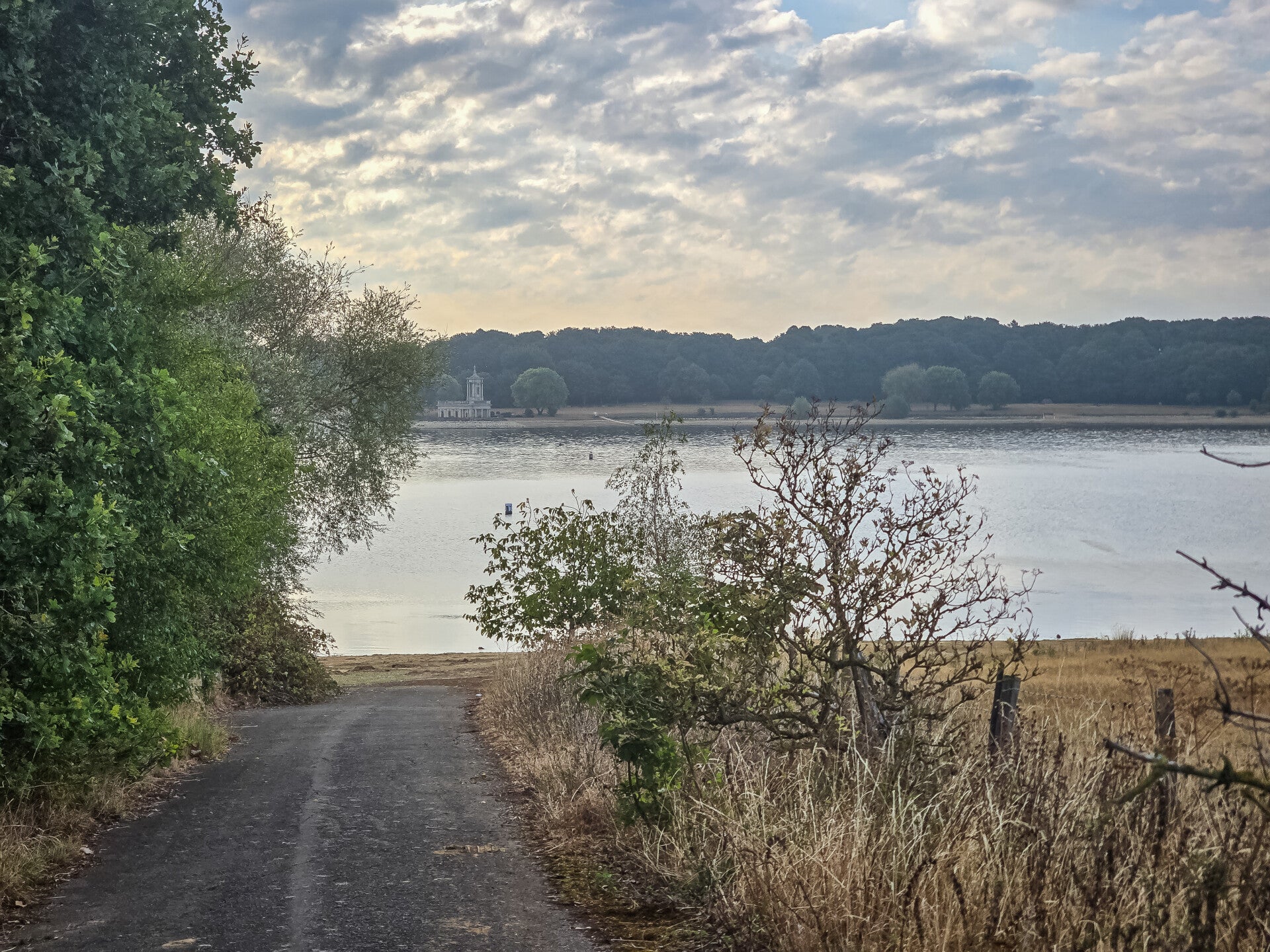
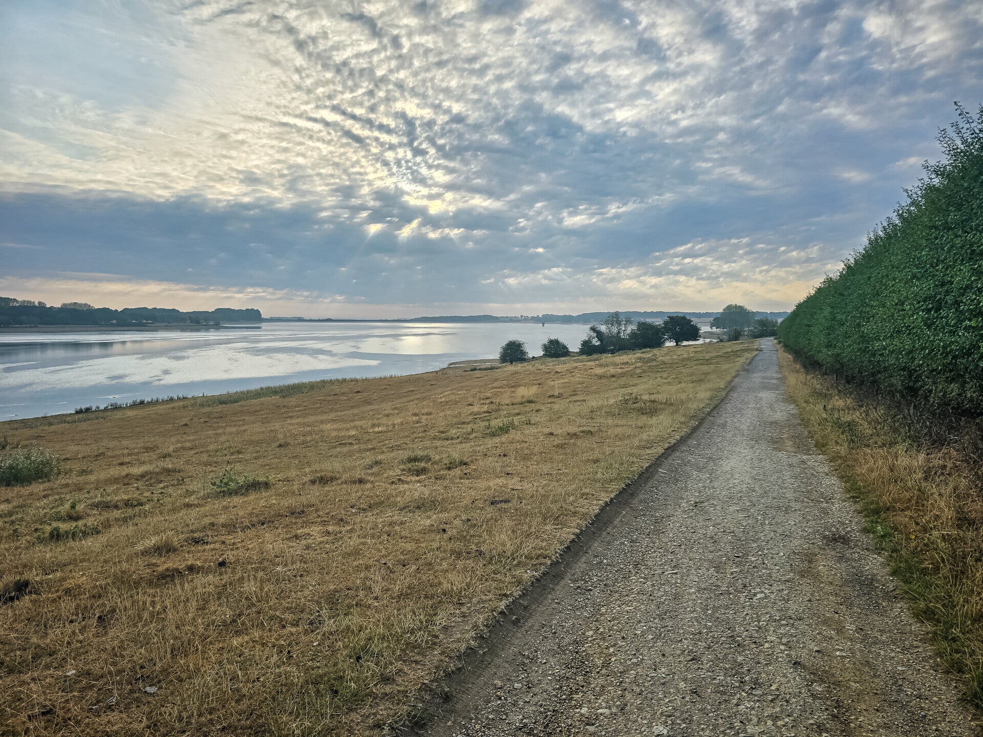
Old Ketton Road in Lower Hambleton, Rutland, is a particularly interesting old route because much of the landscape around it was changed dramatically when Rutland Water was created in the 1970s.
Historically, the road from Hambleton towards Normanton, Edith Weston and Ketton was known as Ketton Road. The old route continued through what is now the Hambleton peninsula, whereas today parts of the former road network have become footpaths, cycle tracks and access routes around Rutland Water.
The Old Ketton Road Lower Hambleton Rutland
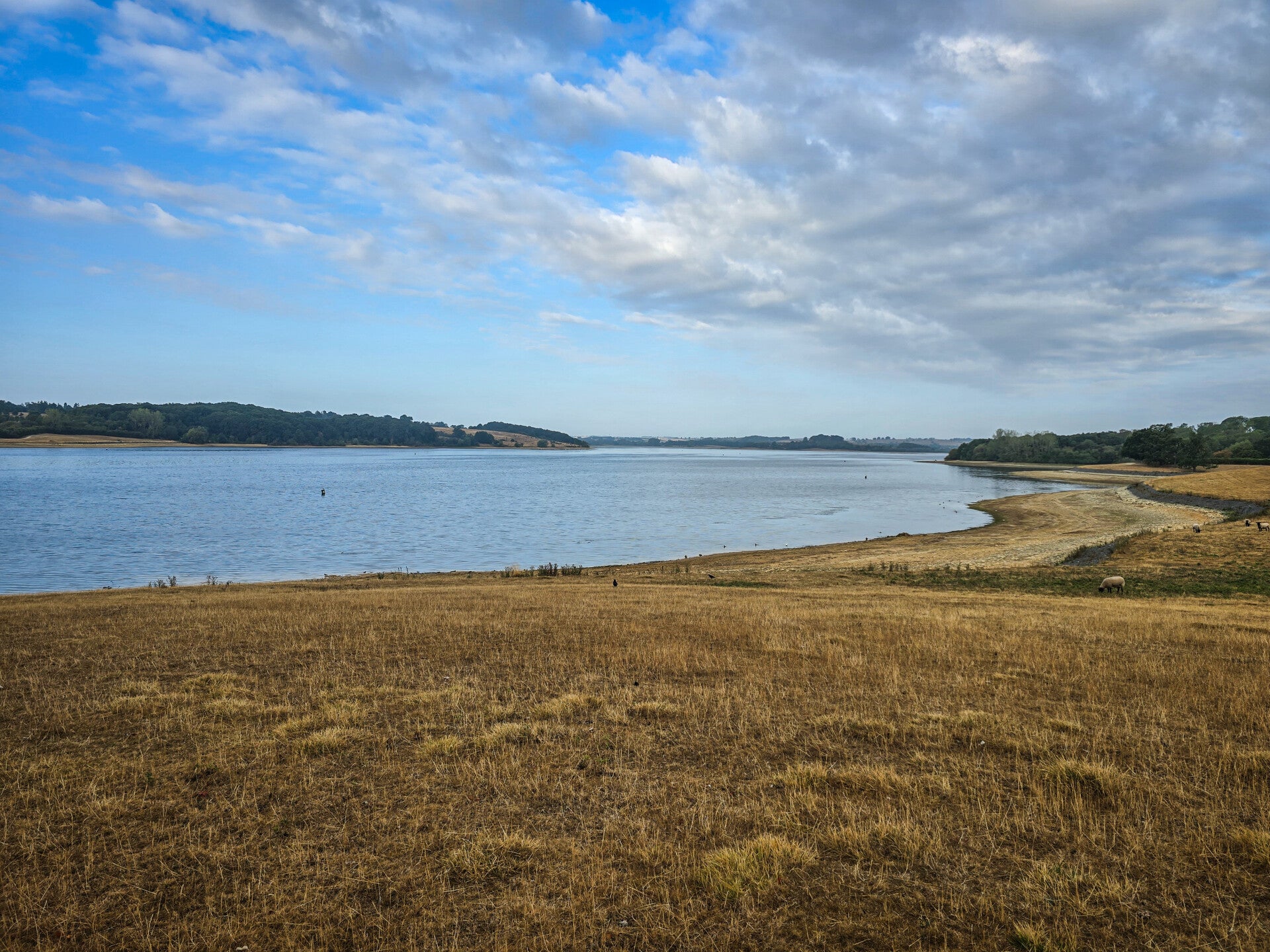
Views across the water
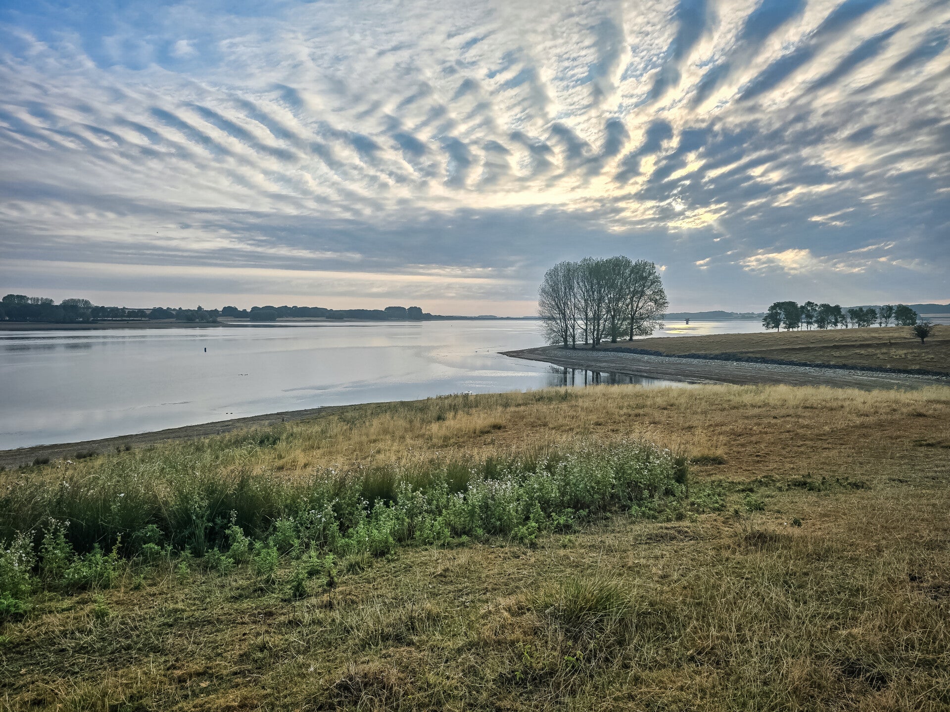
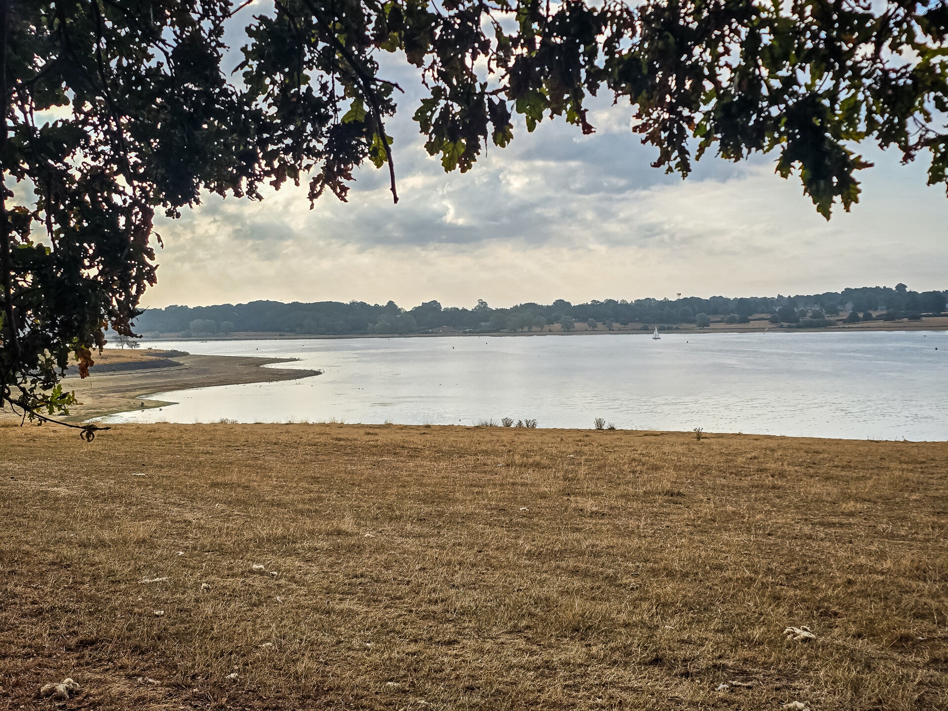
The views over Rutland Water from Lower Hambleton and the Hambleton Peninsula are some of the most beautiful and expansive in Rutland.
From the shoreline and higher ground, you can enjoy wide, ever-changing views across the water, with the surrounding hills, farmland and woodland creating a natural backdrop. The Hambleton Peninsula extends out into the reservoir, so as you walk around it, the views constantly change—from sheltered bays and wooded stretches to broad open panoramas across the water.
Rutland Water Looking Towards Normanton Church
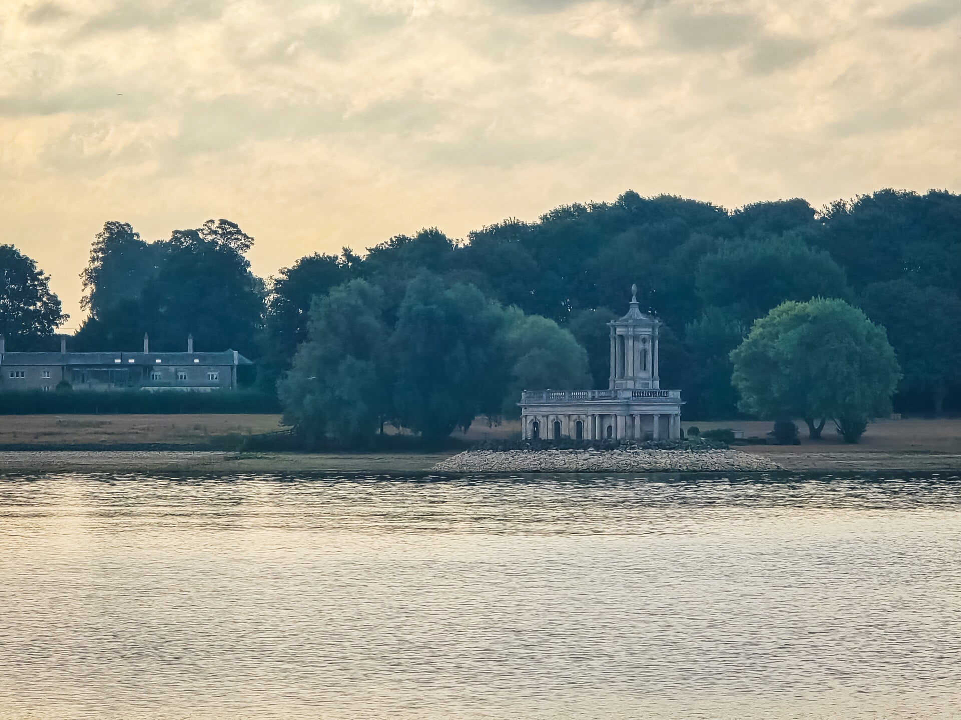
Rutland Water Looking Towards Edith Weston
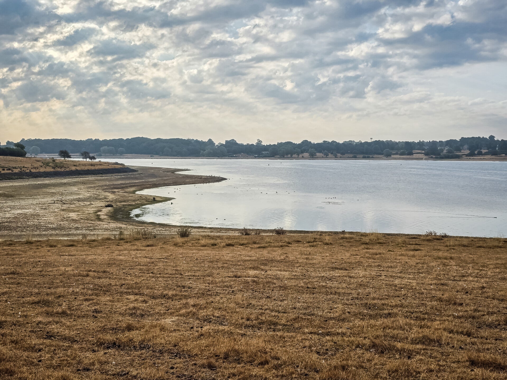
Lower Hambleton Shoreline
The shoreline around Lower Hambleton is a particularly attractive and peaceful part of Rutland Water. It sits around the Hambleton Peninsula, where the water surrounds the former valley and creates wide views across the reservoir.
One of the most interesting things about this shoreline is its history. Before Rutland Water was created, there were three settlements: Upper, Middle and Nether Hambleton. When the reservoir was constructed in the 1970s, much of Middle and Nether Hambleton was lost beneath the water.
Today, the shoreline gives you a good idea of how dramatically the landscape changed. The Hambleton Peninsula forms a prominent ridge between the two main arms of the reservoir, giving the area its distinctive shape.
Rutland Water Lower Hambleton
Rutland Water Lower Hambleton
Create Your Own Website With Webador